
How We Can Support Your Design Process
Topographic surveys for existing conditions
Utility survey (visible, marked, and research-based)
Boundary verification
Pre-Design
High-accuracy surface models for grading
DWG files ready for CAD or BIM softwares
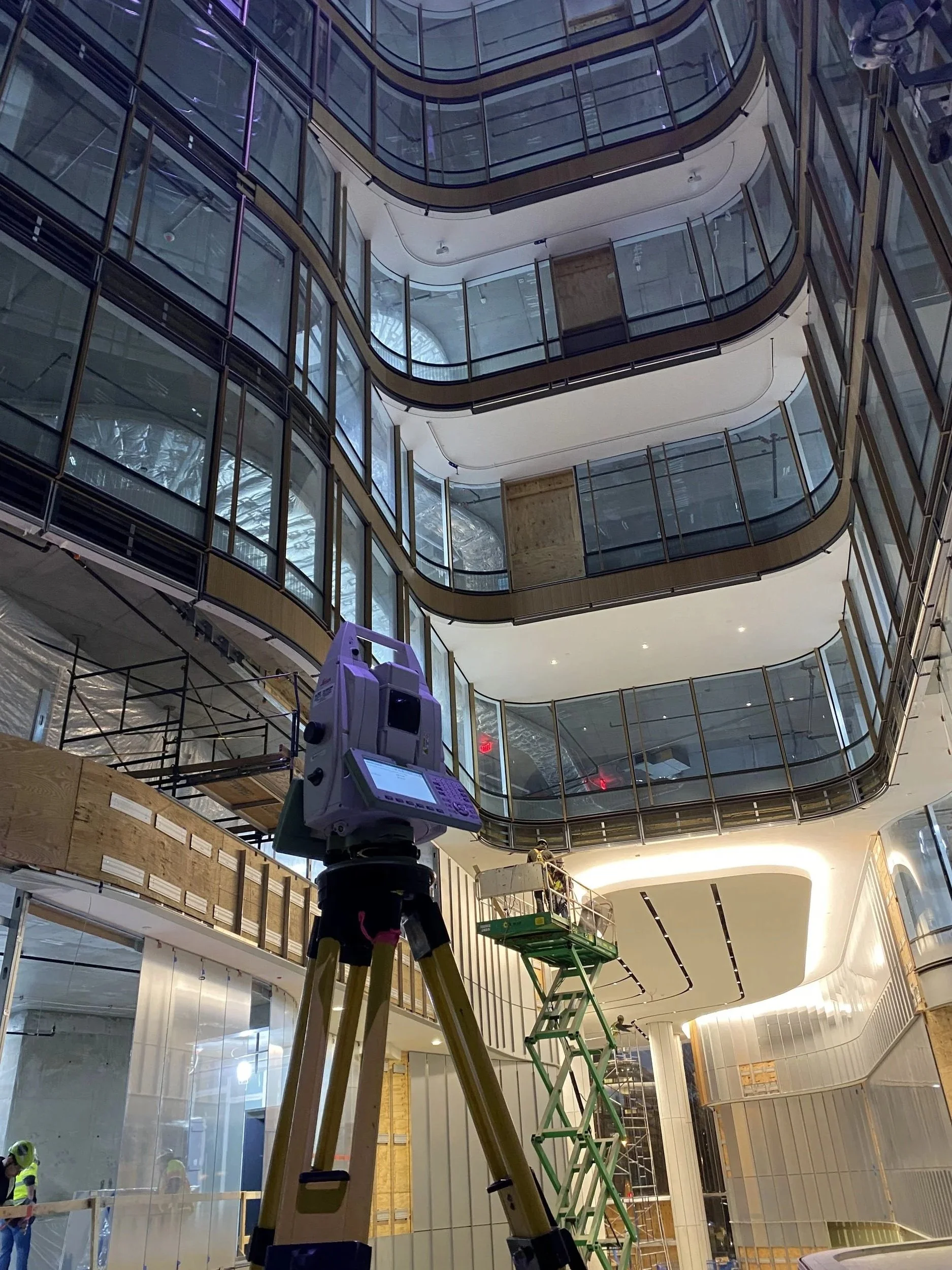
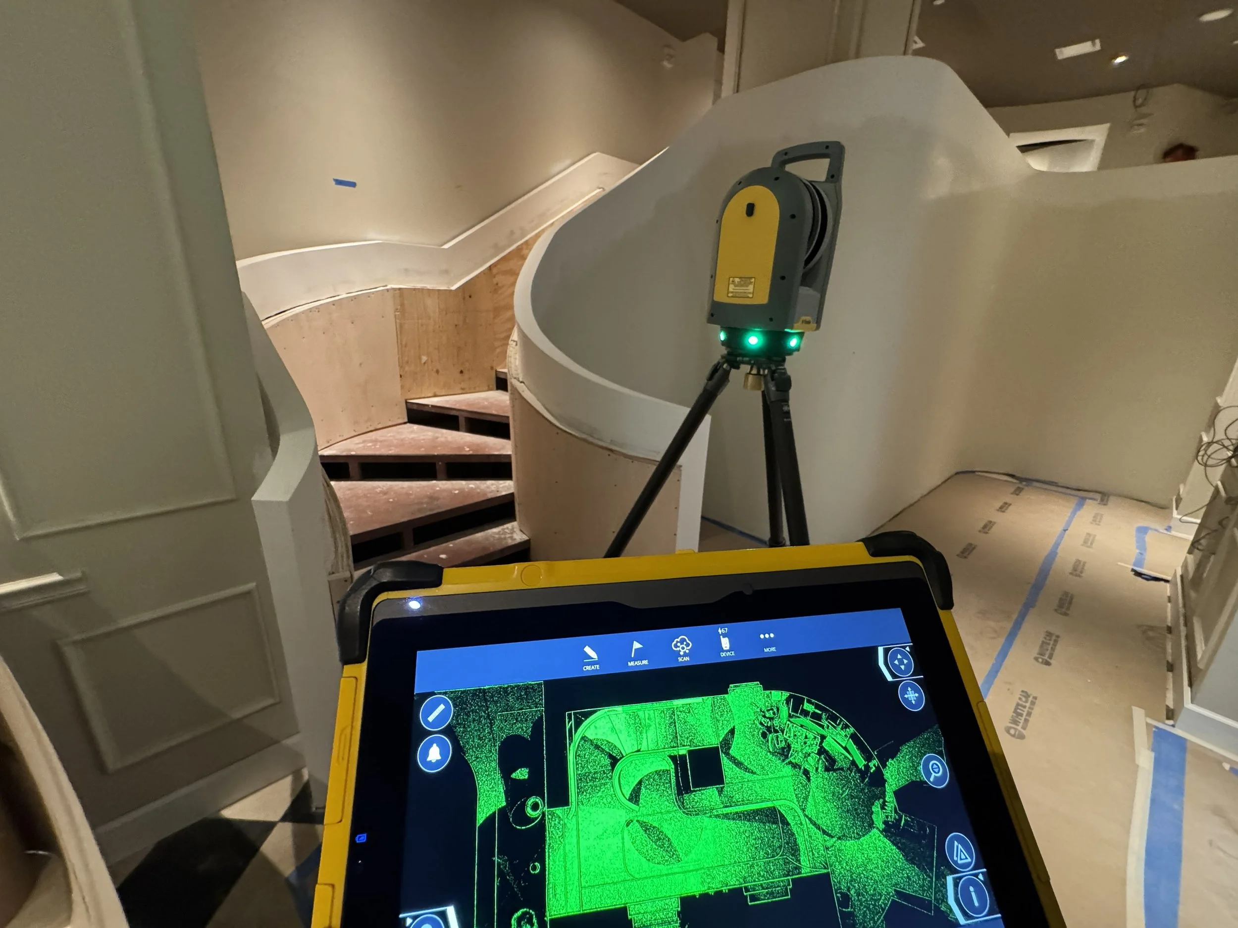
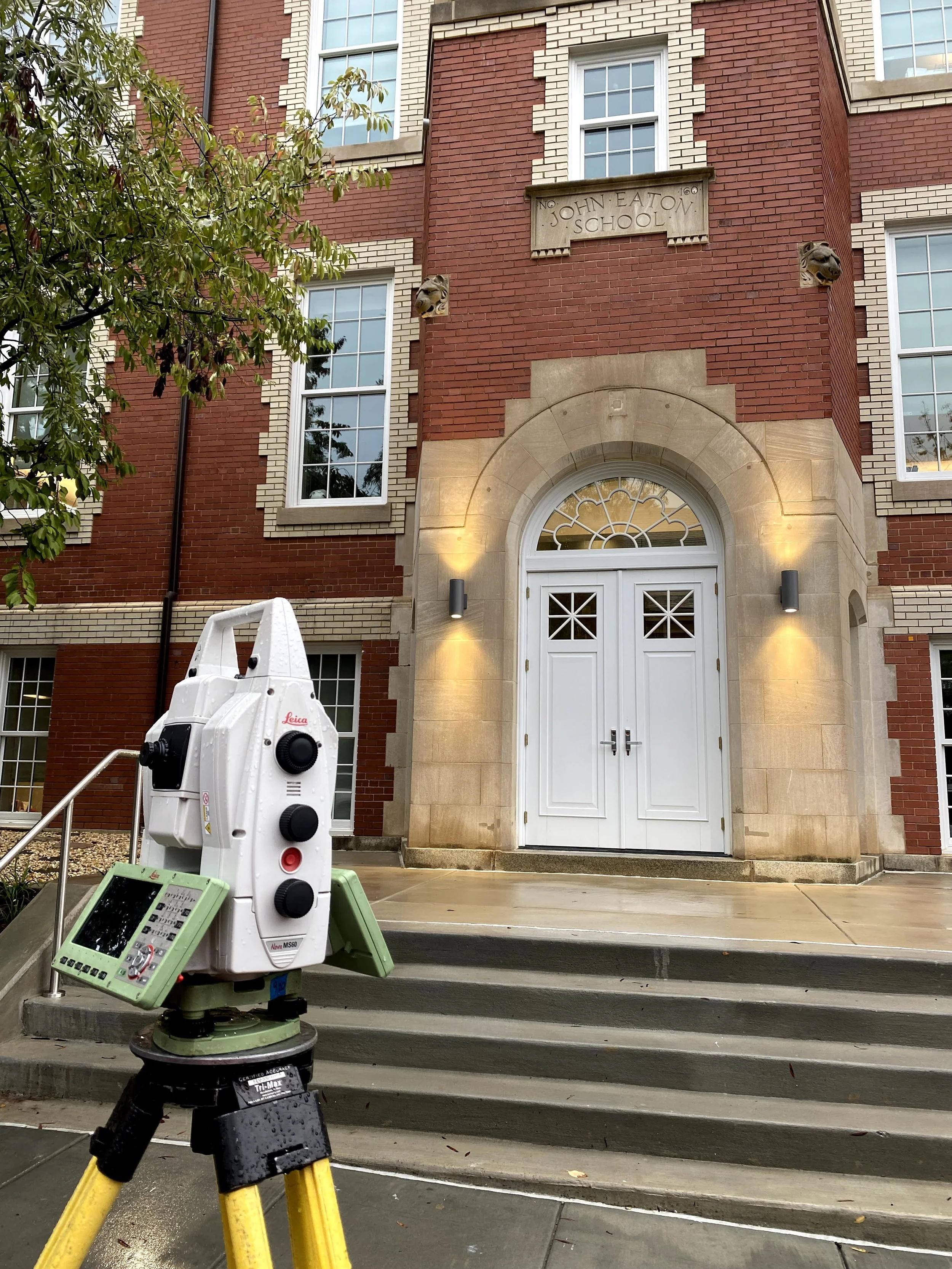
3D LiDAR Scans to support as-built models and site documentation
Floorplans
Design Phase
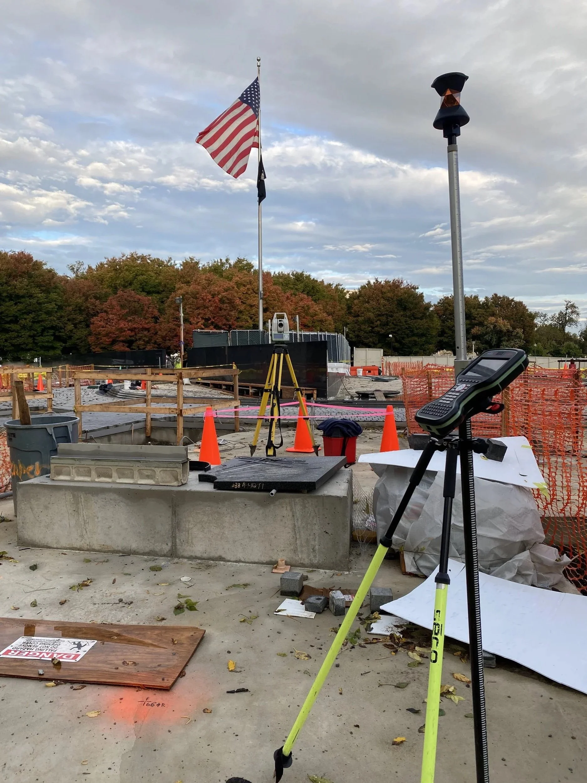
Stakeout & layout support
Cutsheets
Pre-Construction
Construction & Closeout
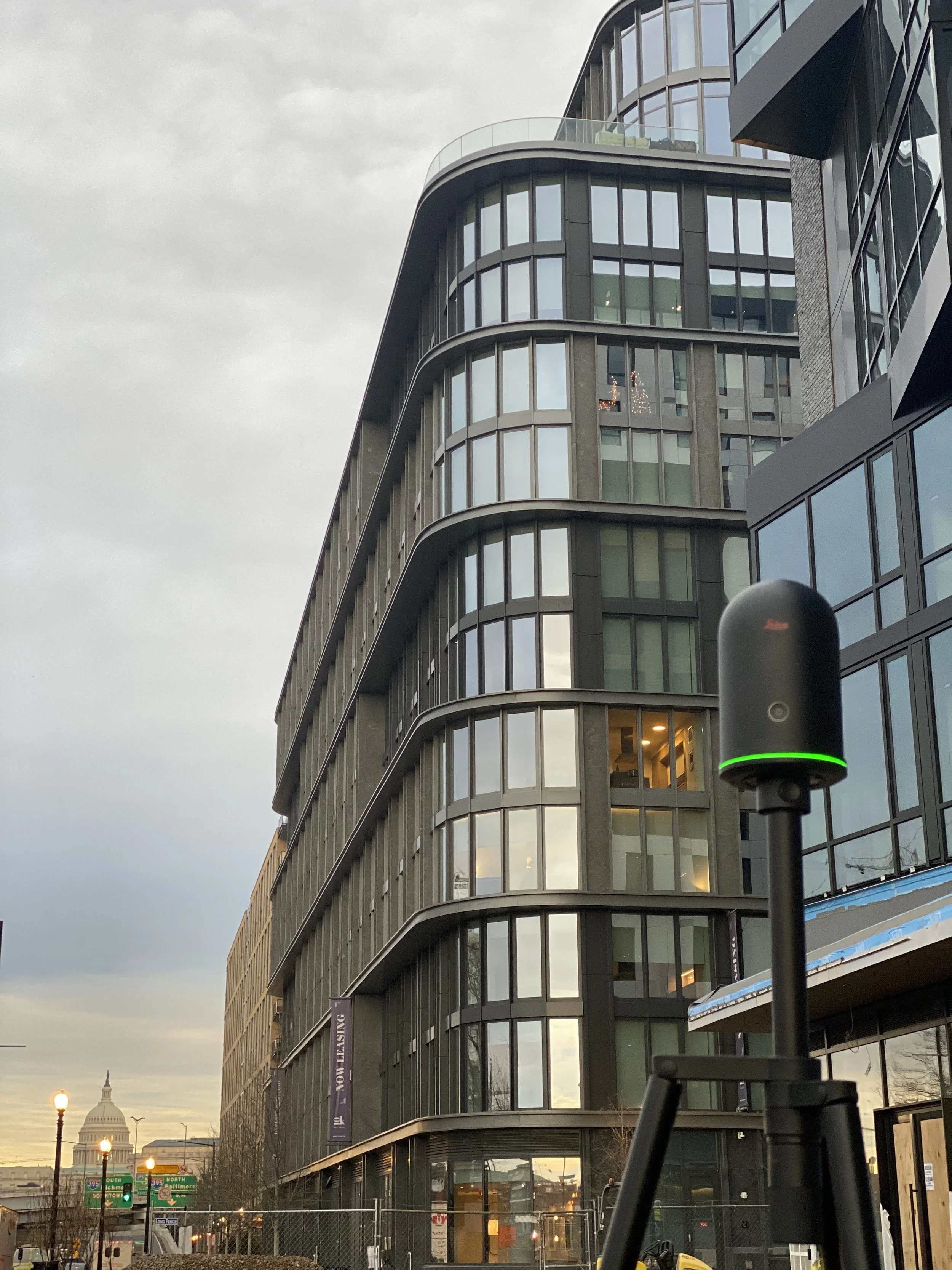
As-built surveys
Verify that construction matches the approved plans